Wellbeing Trails
The Slow Mile
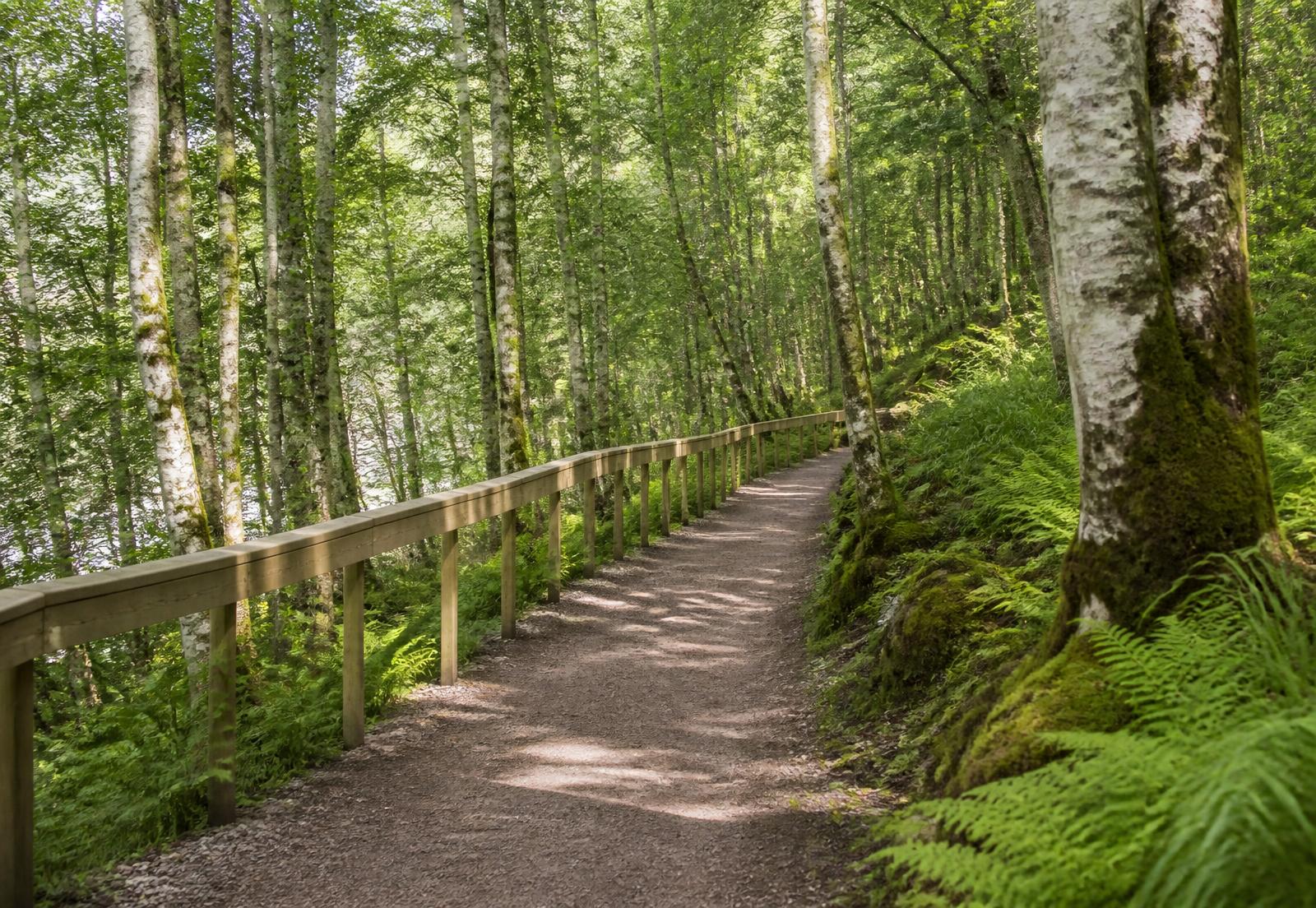
An accessible woodland trail designed with an NHS partnership as a prescribed route.
- Scope
- Access design, construction
- Length
- 1.6 kilometres
- Gradient
- Below 1:20 throughout
The story
Stirlingshire · 2025
A mile of woodland, graded so that a wheelchair, a walking frame and a running child can all use it.
Rest points every eighty metres. Handrails where the ground demands them and nowhere else. No signage telling anyone how to feel.
The evidence for landscape and mental health is not in dispute. The design question is simply whether people can reach it.

Design process
How the work was made.
01
Clinical input
Route developed with occupational therapists and a community mental health team.
02
Survey
Gradient mapping to keep every section below 1:20 without engineering the woodland away.
03
Construction
Bound aggregate surface, hand-built edging, minimal tree loss.
04
Evaluation
Use and wellbeing outcomes recorded over the first two years.
Outcome
A route now used by referral, and by everyone else.